rail atlas: browsing france's train network
a weekend project to see where trains actually go in france, with parks, unesco sites and relief layered on top.
i wanted to see what france’s train network actually makes possible, but every tool i found assumed i already knew where i was going. sncf’s app is built for booking: pick an origin, pick a destination, get a price. there are official network maps, but they’re static pdfs that feel boring to use. i wanted something interactive where i could browse.
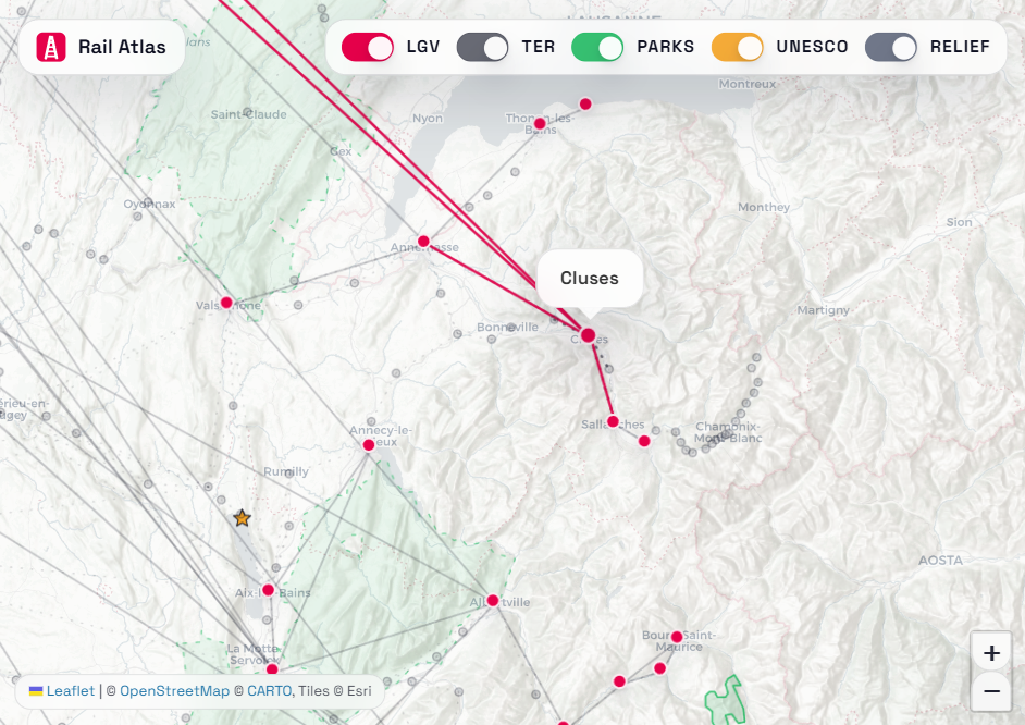
what i had in mind was simple: a map of every station in france where you can hover on one and immediately see where direct trains go. tgv lines should stand out. ter lines should be visible but quieter, giving you the full picture without the clutter. and since the whole point is figuring out where to go, you should be able to toggle on national parks, unesco world heritage sites and terrain relief to spot interesting areas. so i built it over a weekend. it’s called rail atlas.
it pulls from six public data sources: sncf’s station reference list, trainline’s open csv for geocoding, the sncf gtfs feed for connections between stations, wikidata for unesco sites, and data.gouv + magosm for park boundaries.
the fun part is what you notice when everything’s layered together. i hadn’t realized you can get to les arcs or hendaye from paris on direct tgv lines. hovering on a mid-size city and seeing its ter reach fan out is surprisingly satisfying; suddenly you see a weekend trip you hadn’t considered. the final map covers 5,300+ stations, ~3,900 connection edges (3,500 ter, 400 lgv), 48 unesco sites and 67 parks. the whole thing is a static site; no backend, no framework, just html/css/js with leaflet, hosted on cloudflare pages.
you can explore here.